
Eskdale Fell - Lake District Walk
Wednesday 17th July 2019
The weather forecast was for rain later in the afternoon so we anticipated that we should be well off the fells before the rain arrived. The last time we walked in this area with a similar prediction the rain arrived well ahead of schedule and it did exactly the same today.
Start: Eskdale campsite (NY 1778 0100)
Route: Eskdale campsite - Eskdale Moor - Burnmoor Tarn - Broad Tongue - Great How on Eskdale Fell (415) - Whinscales on Eskdale Fell (416) - Eel Tarn - Eskdale campsire
Distance: 7 miles Ascent: 522 metres Time Taken: 5 hrs 50 mins
Terrain: A mix of clear paths and vague paths
Weather: Dry then very wet
Pub Visited: Brook House Inn, Boot Ale Drunk: Rudgate Viking
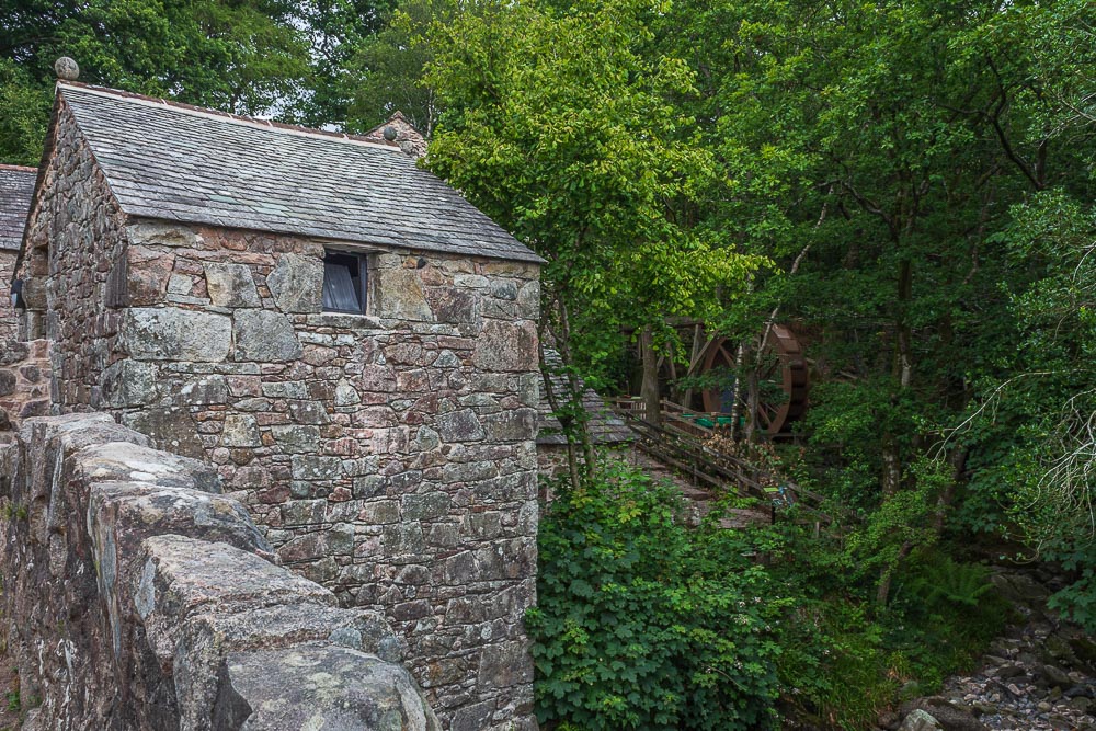
Leaving the campsite we soon find ourselves walking by Eskdale Mill.

Bearing in mind the forecast for rain later in the day we opt to take the track that follows the wall rather than head up to the stone circles which would have made the walk slightly longer.
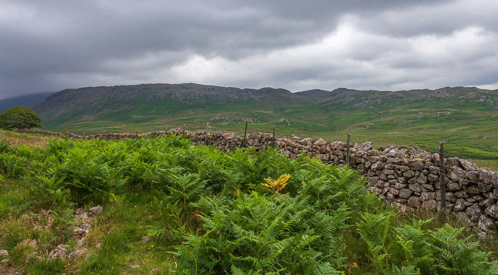
We soon get a view of Eskdale Fell across the valley.

As we walked along the track we noticed that there appeared to be some work going on in the valley below, we soon found out why.
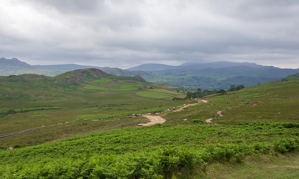
Looking across the moor to Great Barrow which overlooks the campsite we are stopping at. One day I will keep the promise to myself and visit its summit.
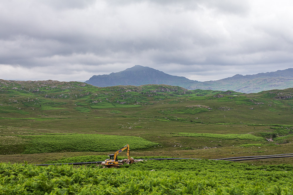
Harter Fell from the same spot. We can't approve of their choice of machinery given my son works for JCB.
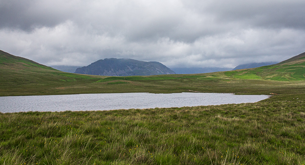
As we reach Burnmoor Tarn Yewbarrow comes into view, so does rather more low cloud than I was hoping to see this early in the day.
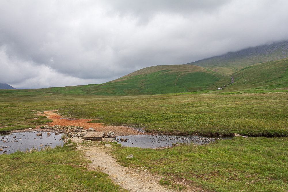
Once we have crossed Bulatt Bridge we will bear right and head for the left handside of Oliver Gill.
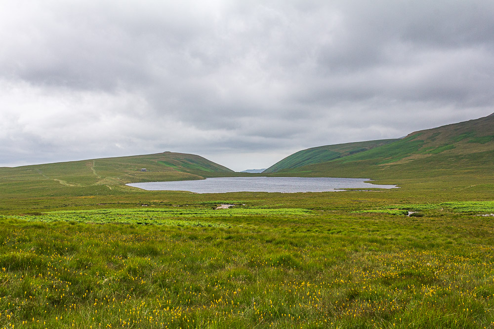
The area between Burnmoor Tarn and the foot of Oliver Gill is somewhat marshy as several gills feed into Burnmoor Tarn at this point. As we start to gain the higher and drier ground we look back to see Boat How is now visible beyond Burnmoor Tarn.
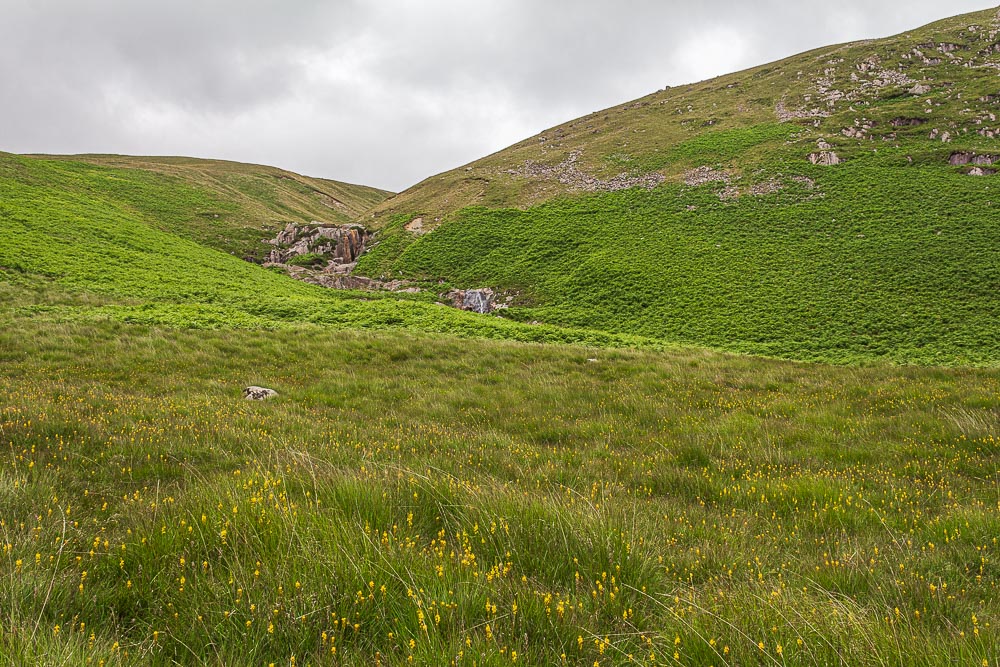
Rather than cross the gill and make a rather steep looking ascent of Eskdale Fell we opt to stay on the left bank and follow it around the back of Eskdale Fell.
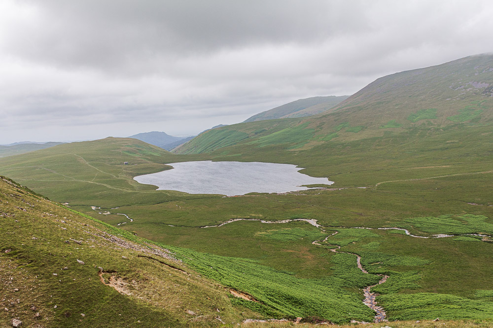
We gain height relatively quickly, given the almost pathless ascent through young ferns and heather.
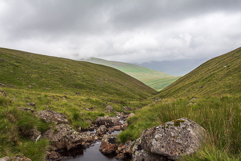
Having followed the gill around the back of Bleaberry How we cross it and start to ascend Eskdale Fell.
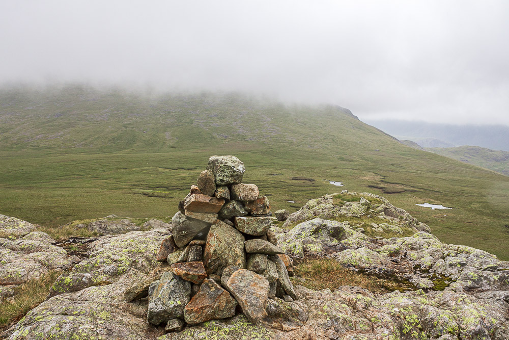
As we reach the summit of Great How the clouds start to descend, where a few minutes before we had been looking up at the slopes of Slight Side now they are disapperaing fast.
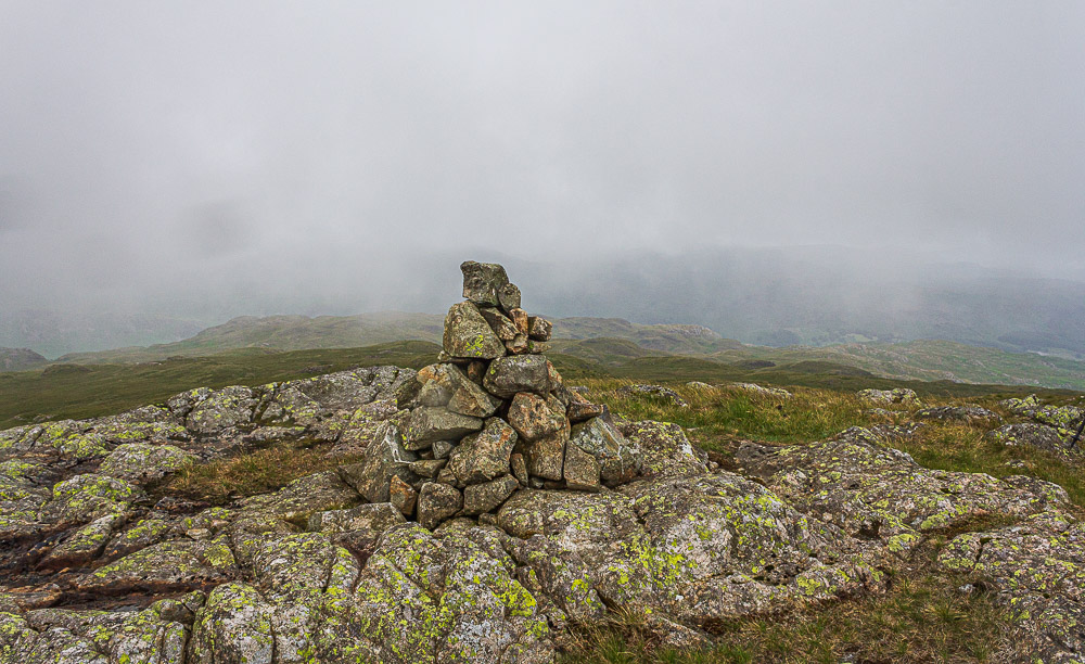
The rain finally arrives as we prepare to leave the summit, time to put waterproofs on and the camera away.
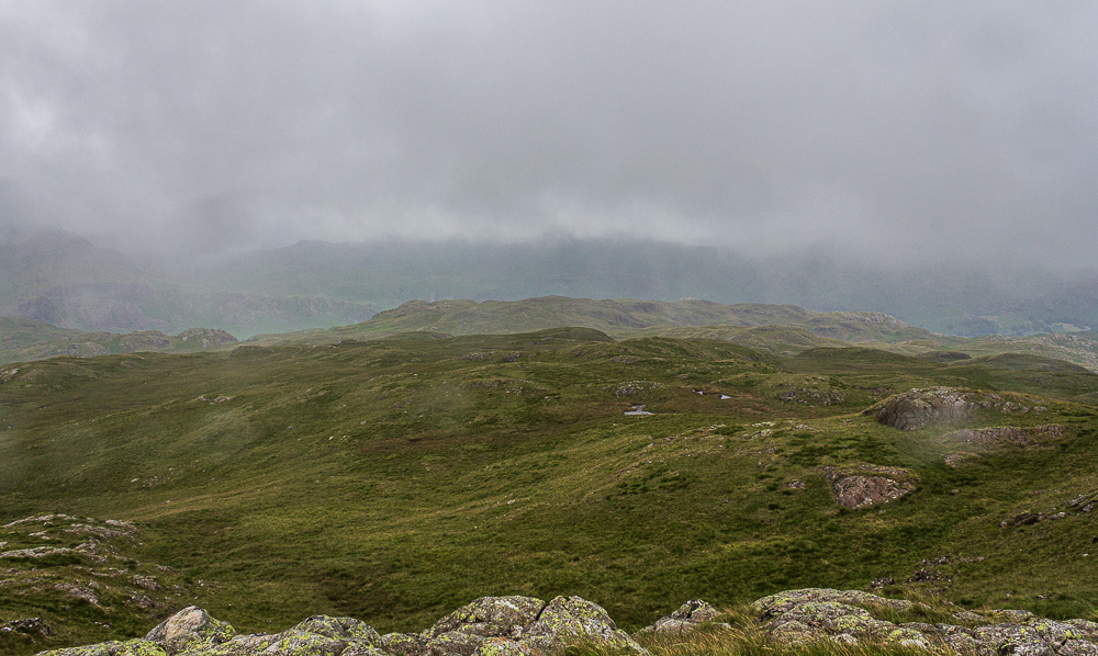
We just about have enough time to get a sense of where the next summit Whinscales is before the cloud drops completely and visibility becomes limited.
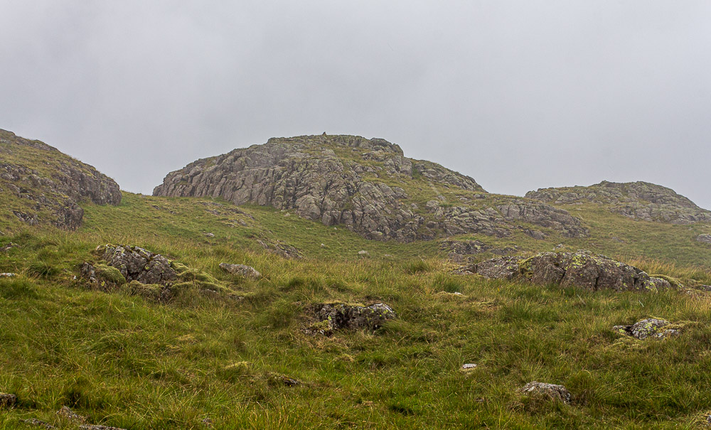
We have barely left the summit when we decide this is definitely going to be a full waterproof occasion so time to drag the leggings out before we get drenched.
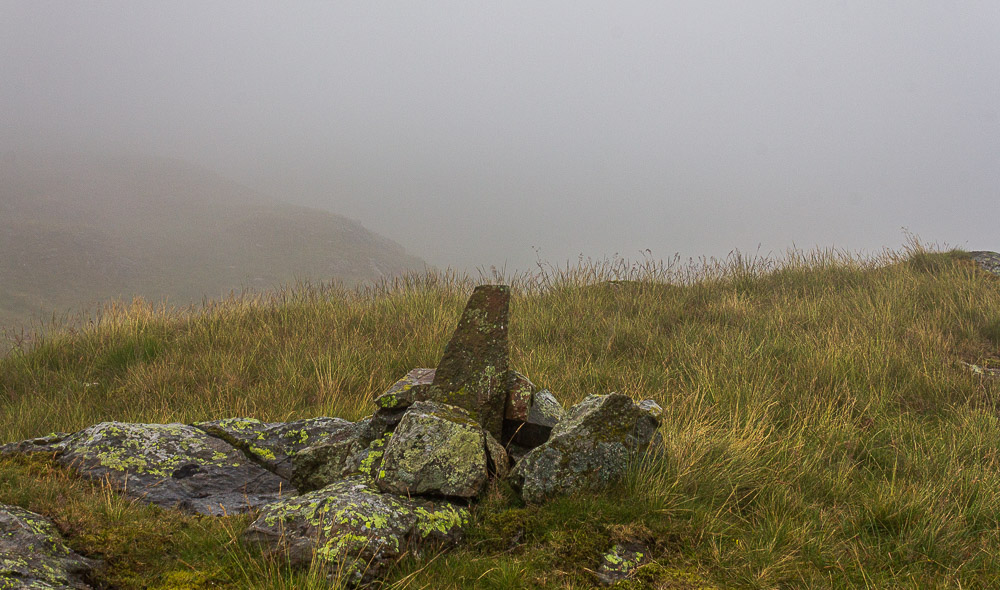
The visiblilty was so poor that we could only confirm this was the real summit of Whinscales when I saw the same cairn on another walker's website.
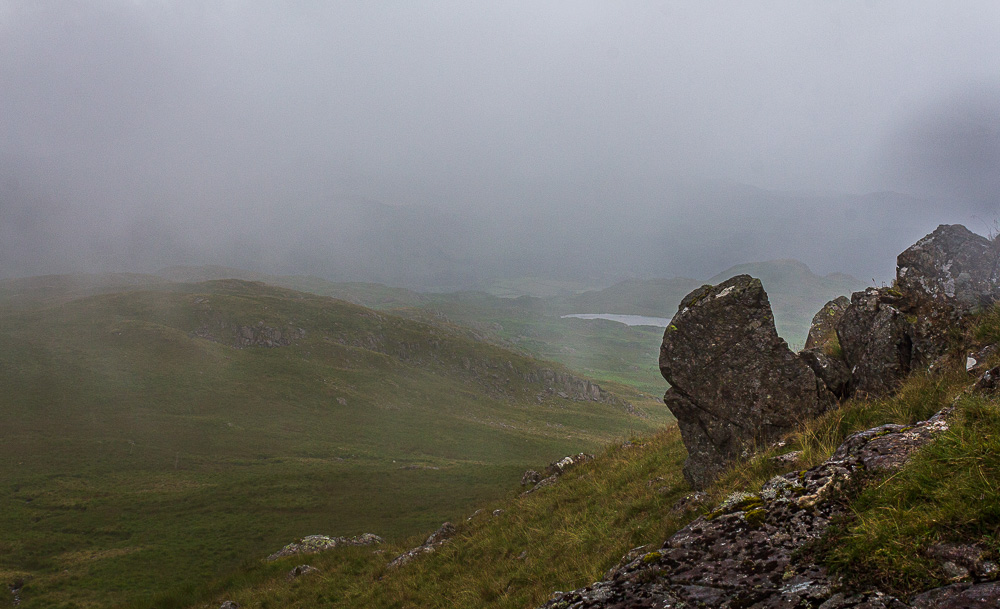
Once off the summit it was a case of keep your head down, keep putting one foot in front of another and remember to check the track is going vaguely in the right direction. It was rather reassuring to finally see Eel Tarn and know that we were going in the right direction. We took advantage of the little bit of shelter the rocks offered us to grab a quick bite to eat.
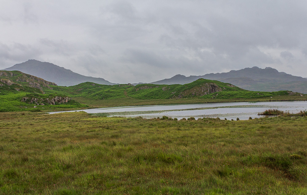
By the time we reached Eel Tarn the heavy rain had finally stopped and the cloud was starting to lift meaning Harter Fell was now visible.
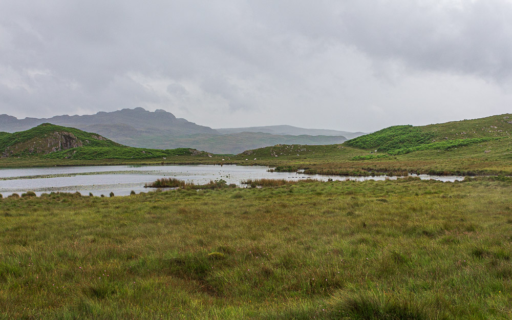
Green Crag seen beyond Eel Tarn.
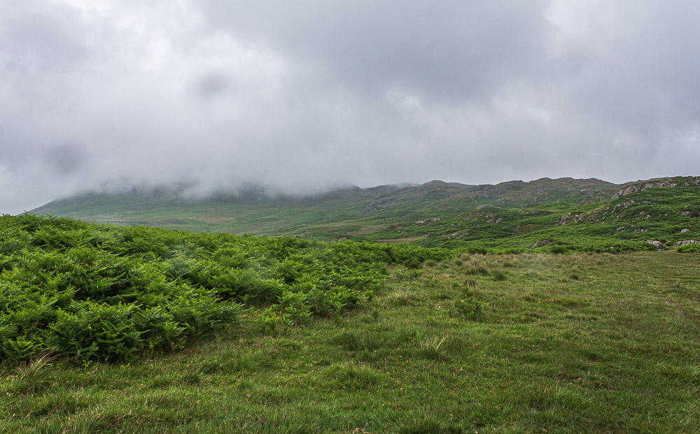
A final look at Eskdale Fell, which is still enveloped in cloud, before we continue the soggy walk back to the campsite. Given how damp we feel we will swap the usual routine around and go for a shower first and then a pint.
All pictures copyright © Peak Walker 2006-2023